LANDSCAPES OF POWER

Type: Movie | Year: 2014
Contemporary remote sensing technologies are altering our understanding as well as our relationship with the Landscape. A digital record of the surveyed physical surface of the earth is producing a new set of images that shape our perception of the territory, creating truths that establish politics, protocols and economies across the globe. These images, and the meta-data that they contain, become the contemporary site of investigation, in which we can both retroactively analyze change on the surface of the earth and simulate projective forensic futures for specific sites.
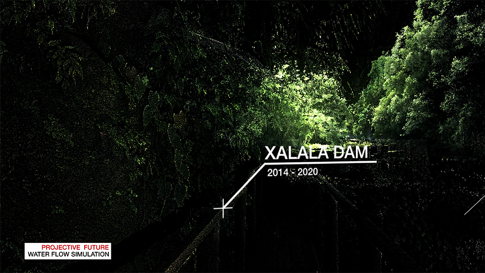
The project LANDSCAPES OF POWER collapses heterogeneous forms of data in one model to develop speculative simulations of possible forensic futures. These become an advocacy tool to describe the system of violence exerted through the landscape by an infrastructure plan (the Pan-American project), and they suggest a reading of the patterns of displacement – of people and nature – as a continuation of colonial strategies to maintain a system of power over territory, resources, and ultimately people.

Mapping of the Chixoy River in relation to the construction of the Dam

Mapping of the Chixoy River in relation to the construction of the Dam

Mapping of the Chixoy River in relation to the construction of the Dam

Mapping of the Chixoy River in relation to the construction of the Dam
In Guatemala, Satellite imagery and LIDAR scanning are the main technologies that shape this landscape, constructing it from two radically different scales of resolution. By understanding the structure of the thick layer of information embedded in each of these surveying technologies, it is possible to define their biases as a legacy of the way in which they record space. Satellite images cyclically capture multi-layered images of the earth with a threshold of approximately 0.8mt per pixel, reducing the presence of the human body to a single dot.


LiDAR surveys record a surface-like space down to its material texture, capturing fractions of a millimeter worth of detail. It is in the gap between these two scales of resolution that we begin to construct our perception of the thick fabric
of relations unfolding on the territory. Overcoming the static nature of these artifacts will allow us to assemble chains of actions between material things, large environments, individuals and collective actions.


Landscapes of Power was part of Daniele's Research at Princeton University. Liam Young was his advisor.
Project Lead: Daniele Profeta
Special thanks to: Jamon Van Den Hoek, William Trossel with ScanLAB Projects,


